

Environmental Resources
A collection of useful materials for community and regional partners.
Access forms, guides, and data for your program needs.
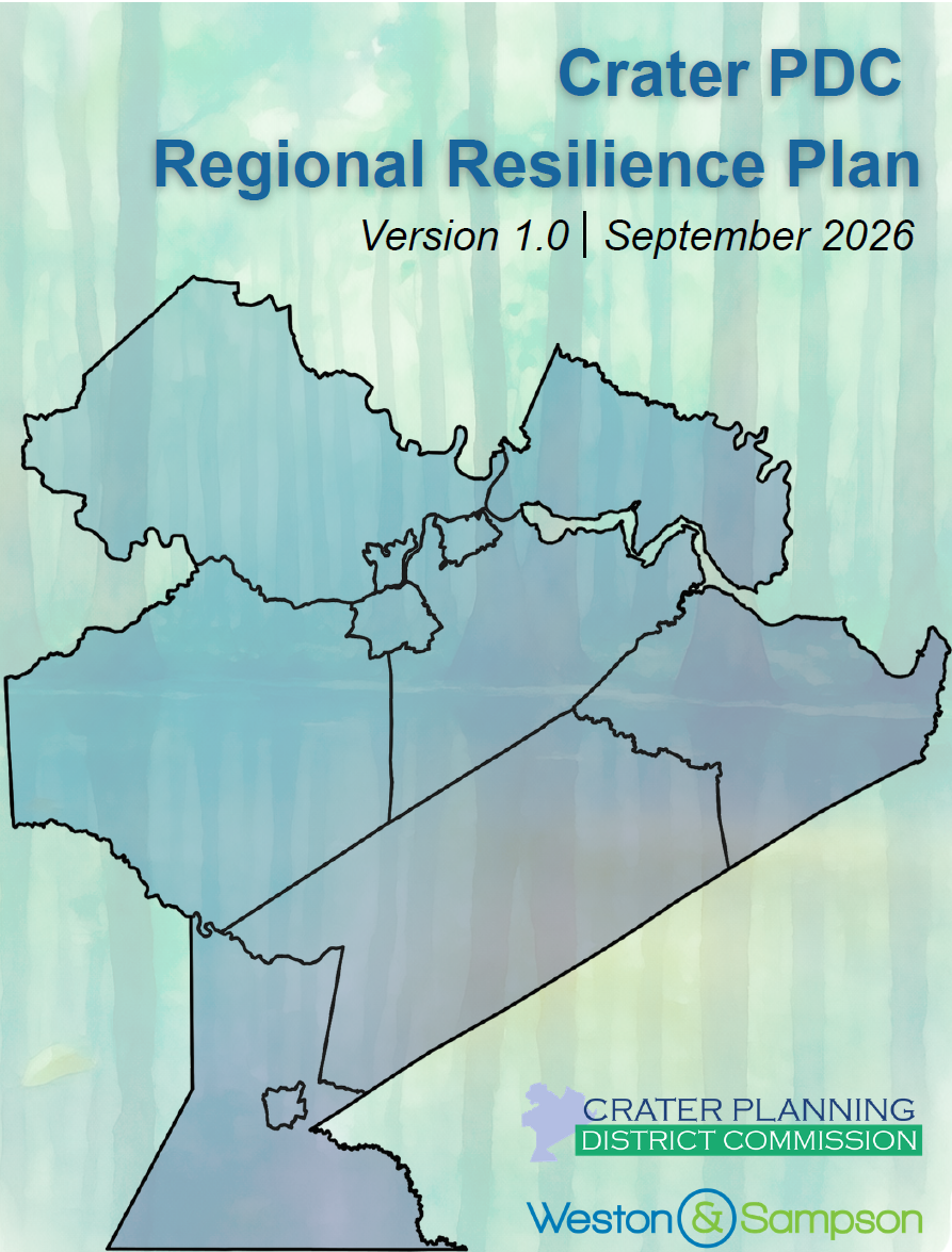
Crater PDC Regional Resilience Plan
The Crater PDC Regional Resilience Plan was adopted in September 2026 following an 18-month planning process. Sections include vulnerability assessments and asset mapping, a capacity building roadmap to support local resilience programming, and a robust set of actions for Crater PDC and its member localities to reduce exposure to flooding and other natural hazards.
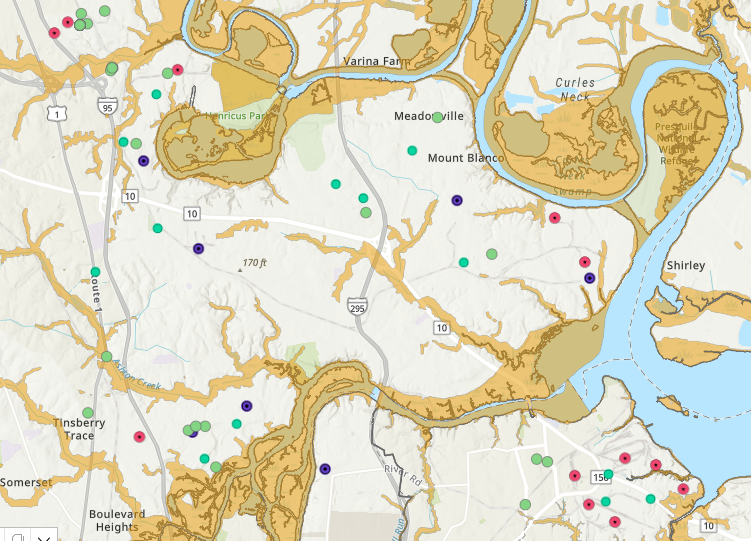
Virginia DEQ Environmental Data Mapper
The Virginia DEQ Environmental Data Mapper is an online interactive GIS tool that allows the public to explore environmental data layers such as air monitoring sites, water quality information, regulated facilities, and land protection areas across the Commonwealth. It works by pulling geospatial datasets from the Virginia Environmental Data Hub and displaying them in a user‑friendly map interface where users can search locations, toggle layers, and download available data.
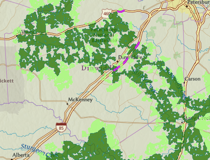
Virginia Natural Heritage Data Explorer
The Natural Heritage Data Explorer is Virginia’s online mapping platform for viewing biodiversity resources, including rare species locations, conservation lands, and ecological community data maintained by the Virginia Department of Conservation and Recreation. It works by combining authoritative Natural Heritage Program datasets with an interactive GIS interface that lets users search areas, toggle conservation layers, and generate reports to support land‑use planning and environmental review.
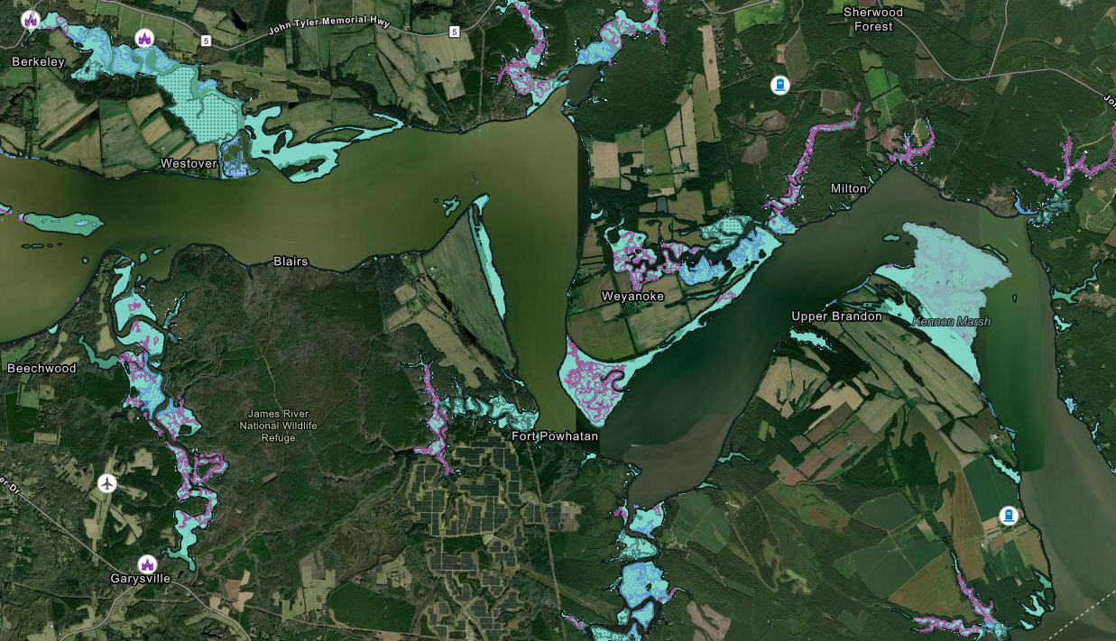
VIMS AdaptVA Interactive Map
ADAPTVA – short for Adapt Virginia – is an information gateway on climate change adaptation for individuals, local programs, and agencies. ADAPTVA integrates best available science, legal guidance, and planning strategies. Visitors will find short and long-term sea level curves and maps, flood mapping and decision-support tools, legal and policy resources, and stories that explain adaption through maps and pictures.
Regulatory In-lieu Fee & Bank Information Tracking System
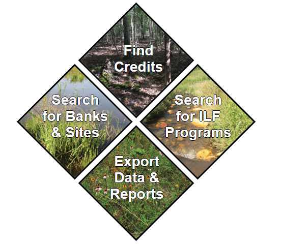
RIBITS is a U.S. Army Corps of Engineers online system that provides detailed information on mitigation and conservation banking, including in‑lieu fee programs across the country. It allows users to view bank sites, credit availability, service areas, and relevant policies that guide mitigation program development and operation.