
Mapping Our Communities for Smarter Planning
Mapping, geographic data, and demographic insights
Visualizing spatial data to guide informed deision-making
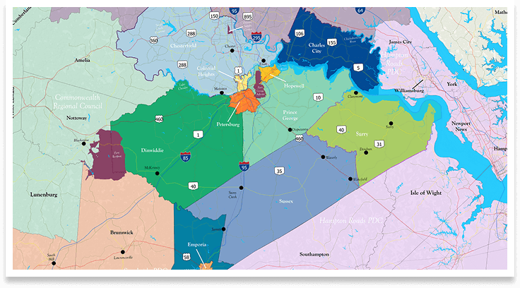
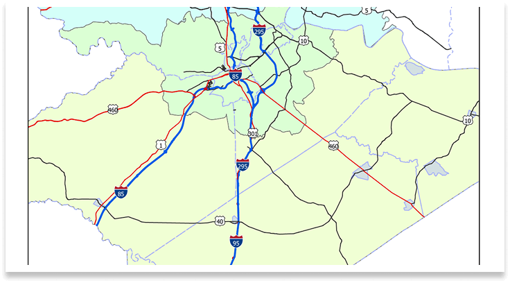
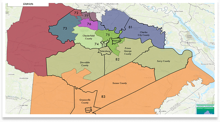
Geographic Information Systems (GIS) are essential tools for local governments in the Crater region, supporting data-driven planning and decision-making. GIS allows communities to map and analyze land use, infrastructure, zoning, and environmental features, helping planners visualize growth patterns, identify service gaps, and prioritize investments. Whether updating comprehensive plans, managing public assets, or coordinating development, GIS provides the spatial insight needed to guide smart, efficient, and informed planning efforts.
All of Crater PDC’s departments–Housing, Economic Development, Environment & Resilience, and Transportation– rely on GIS to provide key insights on multiple scales, from regional-level planning efforts to parcel-scale analyses. Crater PDC also serves as a regional data hub for localities to easily find and obtain GIS layers for a variety of applications. This data can be accessed via the ArcGIS Online content repository below:
Our Geographical Mission
Empowering communities with accessible data, maps, and insights that guide smart growth and strengthen regional collaboration.
Request Data
Submit a request to access maps, data, or reports.
The GIS Maps and Data Department & Impact
Geographic Information Systems (GIS) are essential tools for local governments in the Crater region, supporting data-driven planning and decision-making. GIS allows communities to map and analyze land use, infrastructure, zoning, and environmental features, helping planners visualize growth patterns, identify service gaps, and prioritize investments. Whether updating comprehensive plans, managing public assets, or coordinating development, GIS provides the spatial insight needed to guide smart, efficient, and informed planning efforts.